Frequently asked.
How do you handle seasonal variation in aerial annotation?+
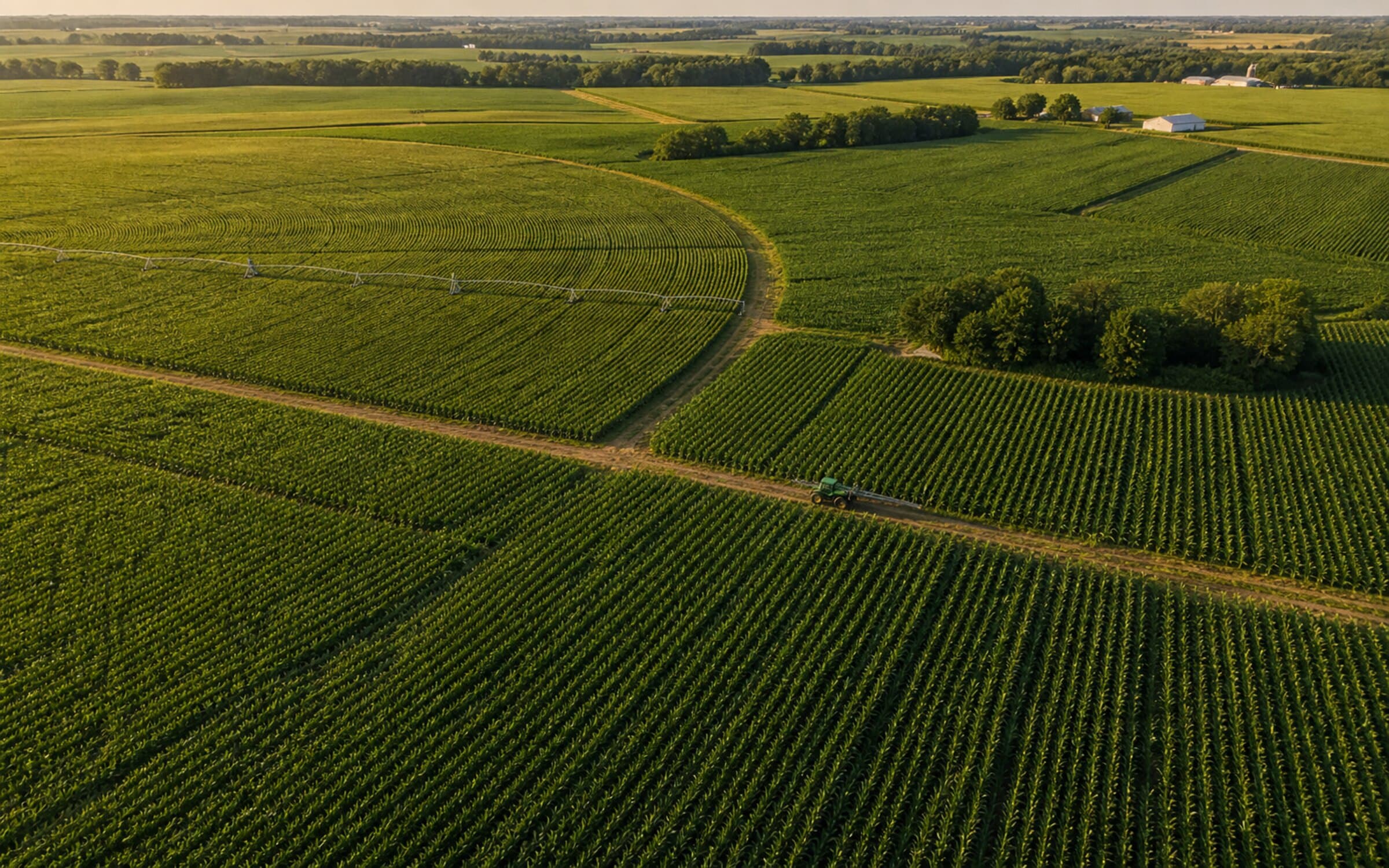
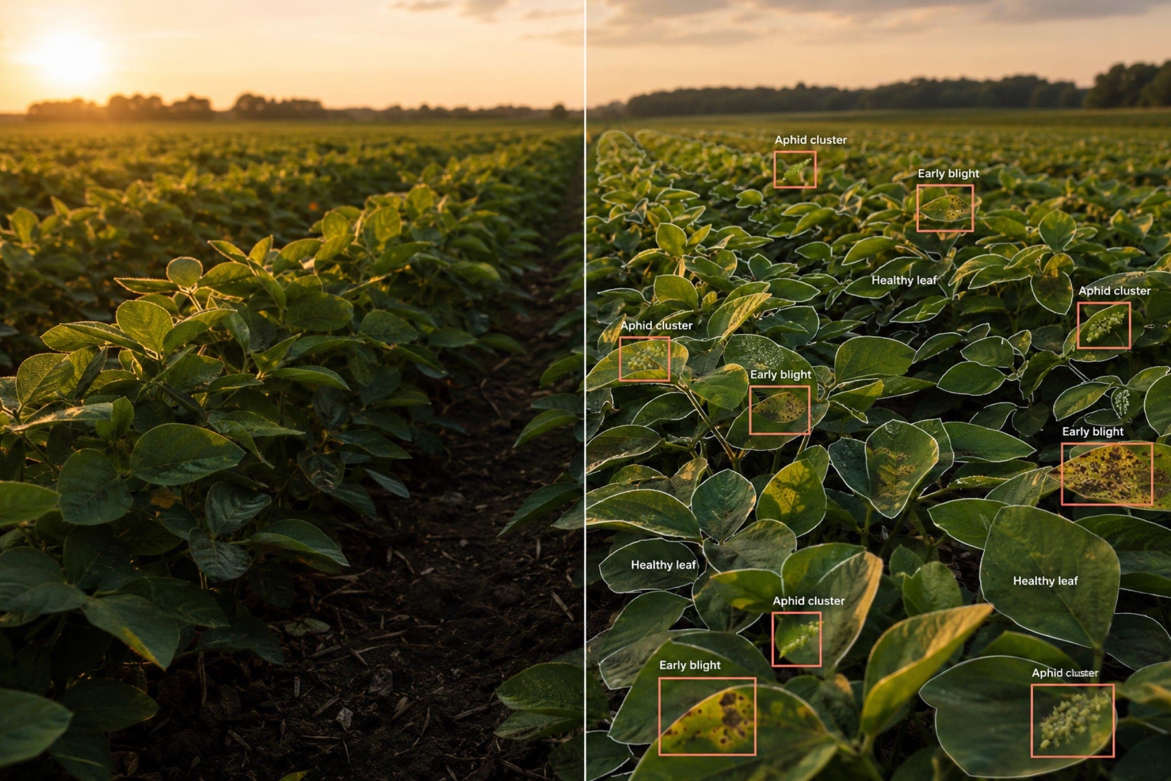
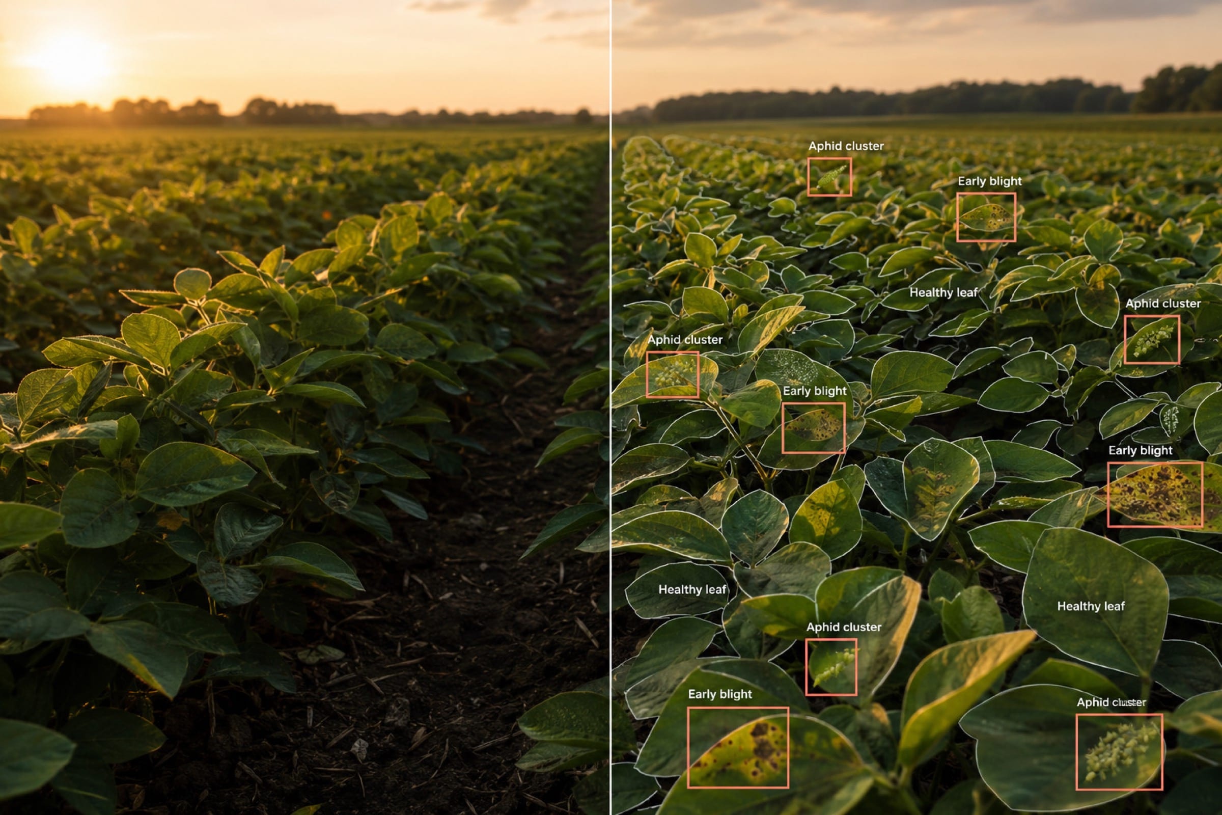
Gold sets versioned per season, with taxonomy evolution captured in a documented protocol. Multi-temporal co-registration audits run on a fixed cadence — drift is detected proactively, not after a model regression. Annotators retained across seasons (96% staff retention over 16 years) means the same eye that learned the Iowa soybean canopy in season one is annotating it in season four. Edge cases from earlier seasons remain in the gold set, so subtle taxonomy drift surfaces immediately. Taranis has held 99.4% sustained accuracy across four growing seasons and 4.5M+ frames on exactly this pattern.
Do you handle drone, aerial, and satellite imagery in the same programme?+
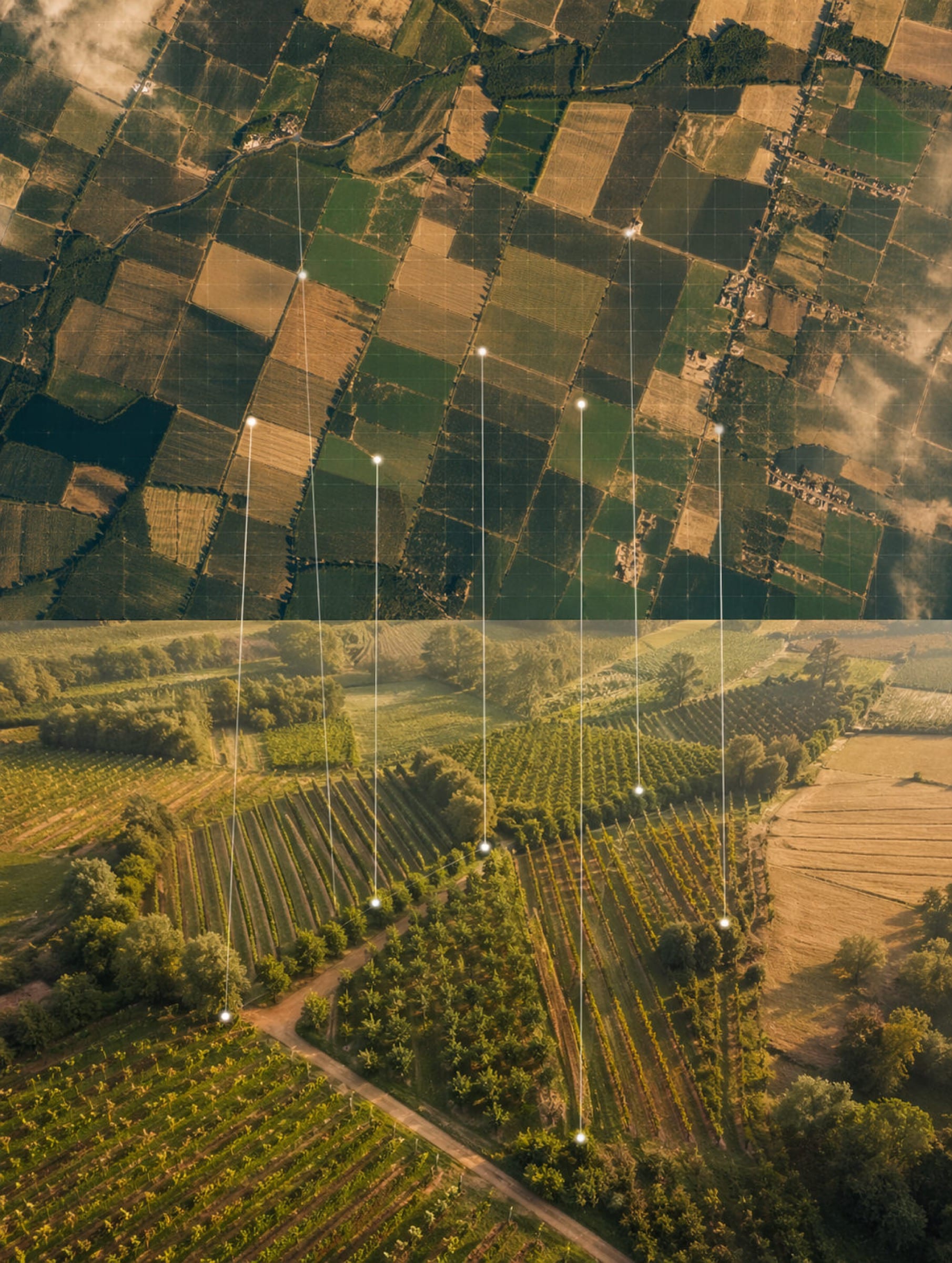
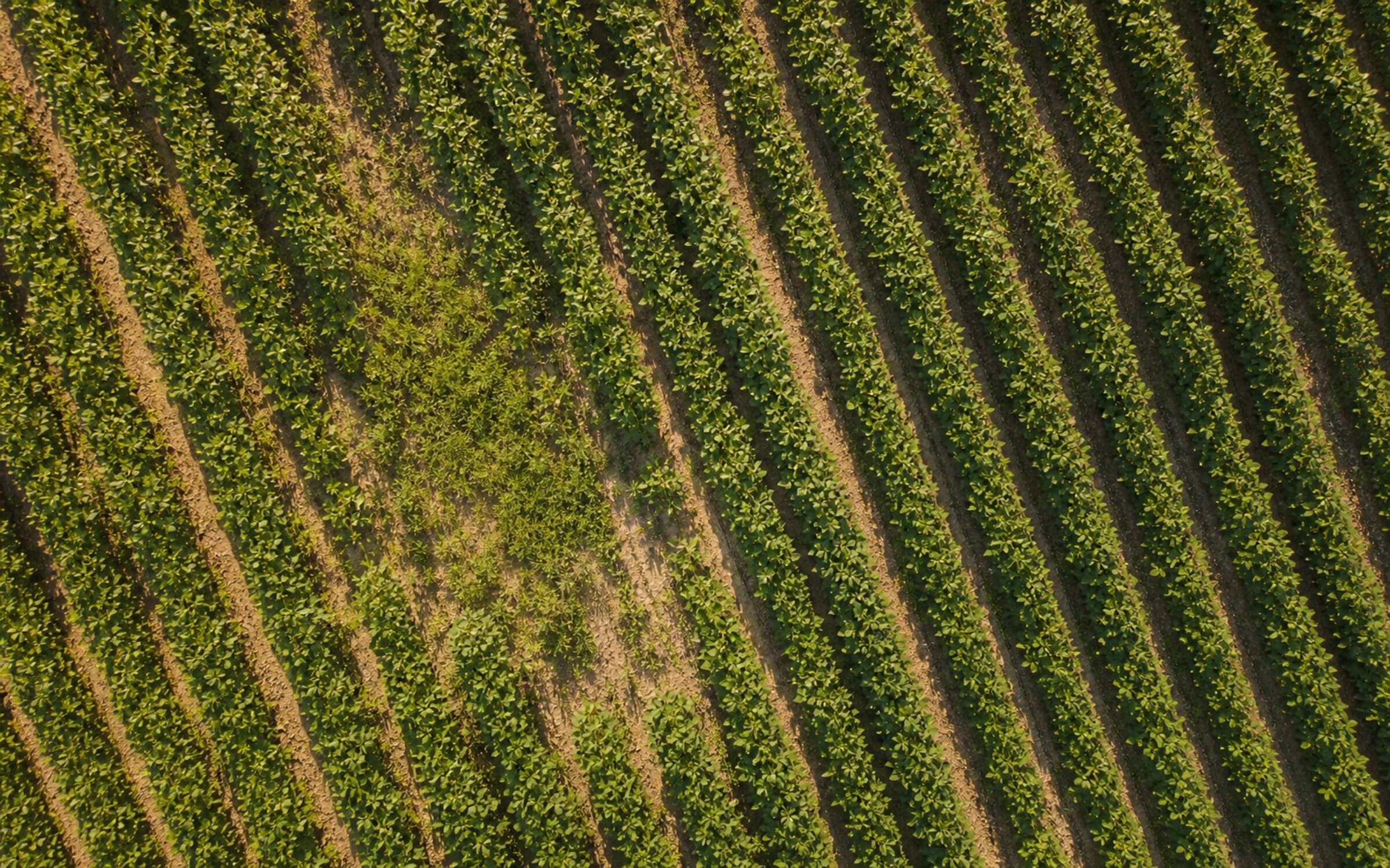
Yes. Multi-altitude capture is standard. Annotation consistency is maintained across capture conditions via shared taxonomy and a joint reviewer pool — the same QA specialists who review drone imagery review the satellite cross-reference. Co-registration audits run between altitudes to catch label drift across scale. Ground control point placement, orthorectification, and polygon annotation handled in-house on QGIS and custom GIS pipelines. We've processed multi-altitude programmes from 500K plots to 4.5M+ images — the methodology scales without losing precision.
What's the typical engagement for an ag-tech programme?+
Two stages before scale. First, a free 48-hour audit on 100 frames in your modality — your taxonomy, your accuracy target, returned with annotated output and a programme recommendation. The audit is unpaid by design and the scope is returnable. Second, a 4-week paid pilot on a bounded set of assets — typically 5,000-10,000 frames — that validates process, quality, and team fit before committing to production volume. The pilot is paid because it's production-grade work at limited scope. The audit and pilot together de-risk the decision before annual capacity contracts begin.
How does this compare to commodity annotation vendors?+
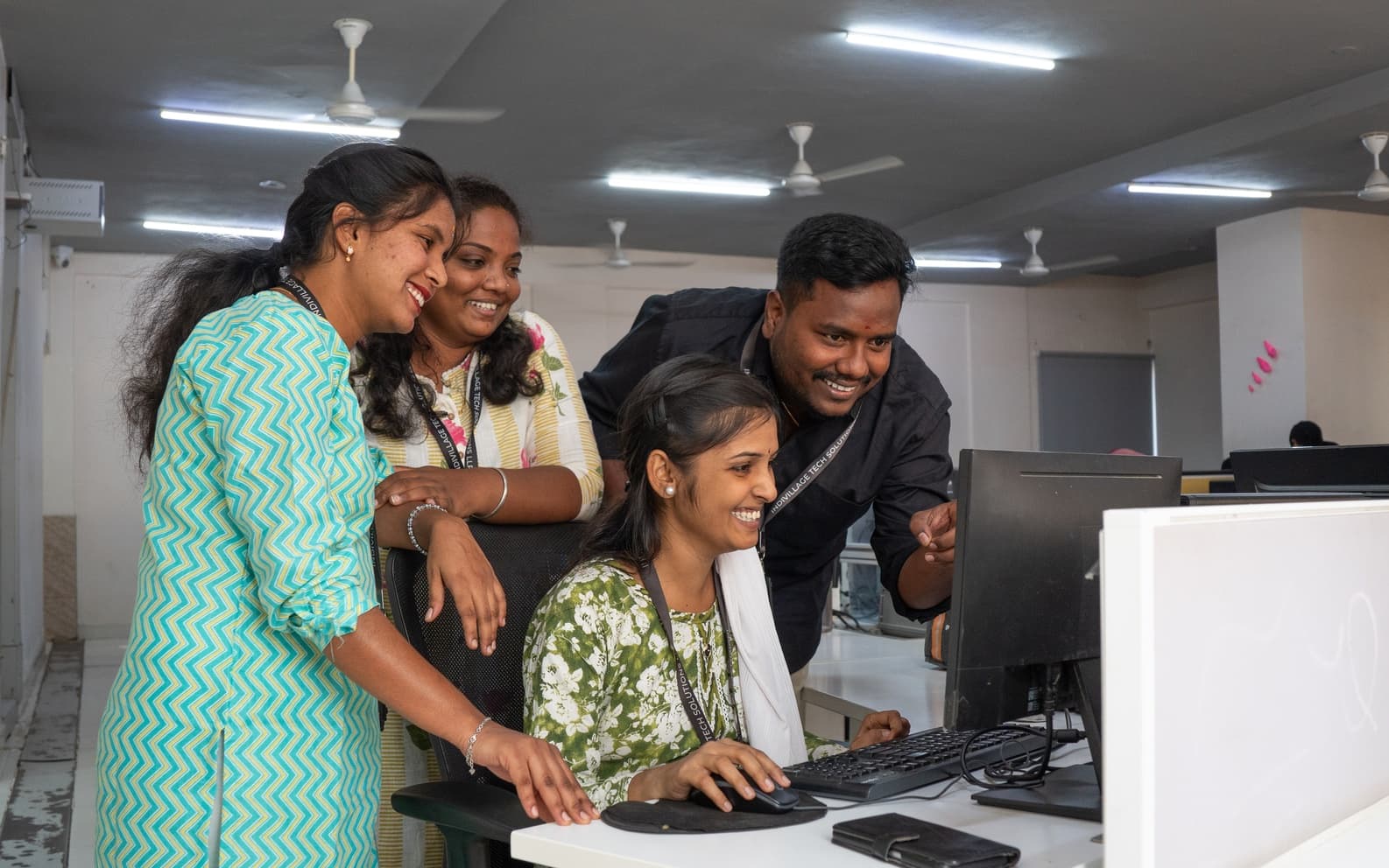
Commodity vendors deliver volume on a 50-70% annual staff turnover model — workers cycle through, taxonomy gets re-learned every quarter, and accuracy degrades under load. We deliver volume at 96% annual staff retention over 16 years. Same annotators, same QA leads, season-on-season knowledge compounding. The procurement number that follows: Taranis has held 99.4% sustained accuracy across four growing seasons and 4.5M+ frames. Beck's Hybrids has scaled through a model-in-the-loop pipeline across 500K plots. The retention thesis isn't culture — it's the mechanism behind the accuracy claim, and it shows up in your cost of rework.
Can you handle 3-level QC at our scale?+
Yes. We've run 3-level QC across 4.5M+ images per programme without quality degradation. L1 annotators tag against your taxonomy; L2 reviewers check consistency; L3 QA specialists run gold-set audits and disagreement-resolution. The QC layer is the moat — multi-pass review, gold-set audits on a fixed cadence, and proactive drift dashboards we build inside the programme so quality regression is surfaced before it reaches your model. Throughput is what people measure; QC discipline is what determines whether throughput is durable. Programme size doesn't relax the discipline — it intensifies it.
 Taranis